Circle trip "Around Šostýn I" (Kopřivnice)
TYPE: walking trip, trip with small children

STARTING POINT
Trailhead
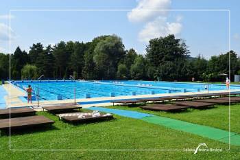
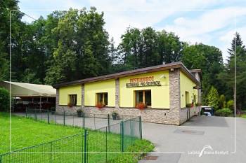
parking lot at the swimming pool

FINISHING POINT
Šostýn (Crossroads)
ROUTE
Parking – Bezruč’s Lookout – Šostýn Castel – Parking
 3-3,4 km
 186 m
186 m
 186 m
186 m
SIGN


SURFACE
forest path, forest road, asphalt road
FOR DOWNLOADING
DESCRIPTION OF THE ROUTE
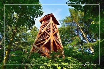
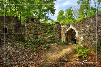
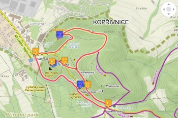
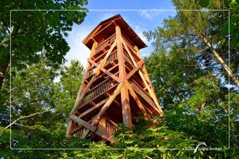
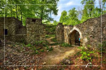
From the trailhead (A), take the Lachian nature trail route to the Bezruč viewing tower, then go along the ridge of Brdy to the crossroads "Pod Pískovnou" (B). From there, turn right and go along the pond below Šostýn to the ruins of the castle (distance: about 2.5 km).
Back from Šostýn, either from the tourist signpost (D) following the yellow tourist signs to the trailhead (a total of ca. 3 km) or from the Lachian nature trail board "Crossroads of the witches" (C) to the right to the asphalt road and along it down to the trailhead (the length of the entire trip is ca. 3.4 km).
INDIVIDUAL SECTIONS
Trailhead - Šostýn
SIGN:

 2,5 km
 147 m
147 m
 183 m
183 m
 105 m
105 m
SURFACE: forest path, forest road
Back from Šostýn Crossroads (D) following the yellow tourist signs
SIGN:

 385 m
385 m
 58 m
58 m
 0 m
0 m
 58 m
58 m
SURFACE: footpath
Back from Crossroads of the witches (C)
SIGN:

 700 m
700 m
 62 m
62 m
 0 m
0 m
 62 m
62 m
SURFACE: forest road, asphalt road
